You are here
Shuster Aerial Photograph Collection
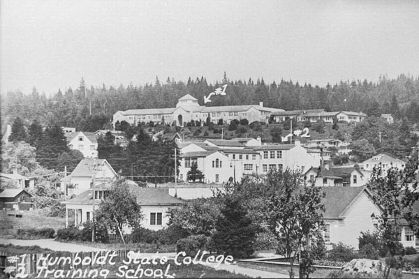
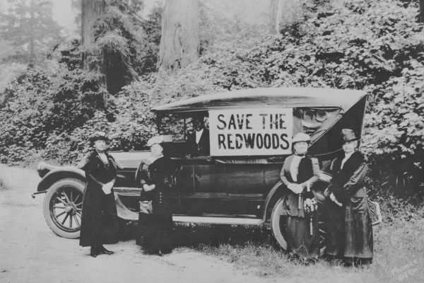
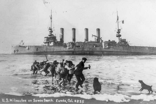
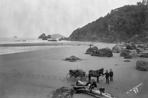
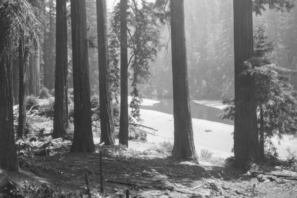
Between 1946 and the mid 1960s Merle Shuster was hired by land developers, timber owners, and lumber mill owners to photograph specific sites. Approximately half the images in the collection come from these assignments and the other half are what Mr. Shuster chose to photograph as he was flying to and from the designated site. Most of the images are taken at an oblique angle, giving the viewer a richer sense of the landscape. Scenes from the burgeoning post-war lumber industry on Humboldt Bay and nearby coastal areas form the majority of the collection. Other scenes include rivers, country roads and farmsteads, small towns, and stunning landscapes. Humboldt Bay, Eureka, Arcata, Trinidad, and Crescent City are particularly well documented. Here's the list of subjects used.
Consult the Finding Aid for more information about the collection.
Search the collection and view the images on the Cal Poly Humboldt Digital Archive page.
A selection of photographs from the Shuster Aerial Collection were georeferenced and displayed in a project by Brian McCaughey (2016 HSU Alum). This website displays Merle Shuster's high resolution aerial photographs of Humboldt County on a webmap in the geographic locations where the photos were originally taken. This project was completed with support from Dr. James Graham and Humboldt Library staff. Please visit the Shuster Aerial Project for more information and to see the map.
- Selections by Jerry Rohde:
 The Humboldt Bay Area 1946-1955: A Decade of Development & Disturbance
- Raising the Redwood Curtain: Merle Shuster Shows Us Post-WWII Humboldt Bay (4/23/10)