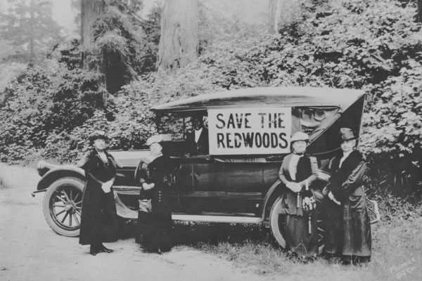
You are here
Herrick Land Survey and Map Collection
The Herrick Land Survey and Map Collection consists of 251 land survey drawings and maps of Humboldt County, including a few of areas in Del Norte County (California) covering the 1890 - 1930 time period. The vast majority of surveys and maps were drawn by Frank E. Herrick, who learned survey work from his surveyor father, Rufus F. Herrick, during his childhood years in Humboldt and Del Norte counties. Over his long career he held surveyor and engineer positions for Humboldt County, the City of Eureka, the California and Northwestern Railway, and was Deputy United States Mineral Surveyor for California, in addition to maintaining a private practice.
Information about each map is recorded in the Herrick Collection in the Cal Poly Humboldt Digital Archives. In searching, choose geographic terms or subject terms, e.g. mining or railroads; here is the list of Subjects used in this collection.
Consult the finding aid for more information about the collection.