You are here
Herrick Land Survey and Map Collection - Finding Aid
Abstract
Biographical Information
Scope and Content of the Collection
Title
Herrick Land Survey and Map Collection
Collection Number
1999.10
Contact Information
The University Library, Special Collections
Cal Poly Humboldt
One Harpst Street
Arcata, California 95521
URL: https://specialcollections.humboldt.edu/herrick-land-survey-and-map-coll...
Processed By
Nathanial Haas
Edith Butler MA, CA
Date Collection Processed
2005-2007
Language
English
Collection Creator
Frank E. Herrick (1861 – 1939?) is the surveyor for the vast majority of the maps. Other surveyors include: J.R. Porter, W.T. Thomas, W.F Hunter, J.A. Shaw, H.S. Richardson.
Dates Covered by Collection
Circa 1890-1930
Size of Collection
251 items
Abstract
The Herrick Land Survey and Map Collection consists of land survey drawings and maps of Humboldt County, including a few of areas in Del Norte County (California) covering the 1890 - 1930 time period. The vast majority of surveys and maps were drawn by F.E. Herrick. The collection includes a few engineering drawings.
Access
Collection is processed and available by appointment.
Copyright
Copyright has not been assigned to Cal Poly Humboldt. To obtain permission to publish or reproduce in any format, please contact the Special Collections Librarian.
Acquisition Information
Probably the collection was donated to the Cal Poly Humboldt Library in the 1960s.
Biographical Information
From: History of the State of California and Biographical Record of Coast Counties, California, by Prof. J.M. Guinn, A.M., 1904 (p.500).
FRANK E. HERRICK. One of the most active, able and progressive young men of Humboldt county is Frank E. Herrick, surveyor and city engineer of Eureka. Conspicuous for his keen intelligence, good judgment and business acumen, he is prominently identified with the leading improvements of city and county, and is held in high esteem as a citizen of value and worth. A native of Humboldt county, he was born February 10, 1861, on Mad river, on a ranch lying about four miles from Arcata. His father, Rufus F. Herrick, a record of whose life may be found elsewhere in this work, entered the government service as first lieutenant of a company and was promoted to a captaincy and as Indian agent in 1861, serving four years. He afterward engaged in farming and contracting in Ferndale, on Eel river. In 1872 he assumed the office of county surveyor and served fourteen consecutive years, in the meantime making his home in Eureka.
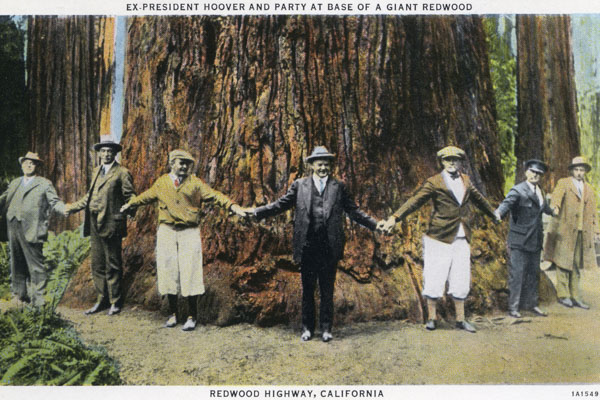
Coming to Eureka with his parents when a lad of eleven years, Frank E. Herrick subsequently attended the public schools five or six years, and then studied for a time under a private tutor. At the age of eighteen years he entered the employ of the United States government on coast survey, geodetic and harbor improvement, and served four years. Prior to this time he had worked, during his vacation, with his father and other competent engineers, thereby acquiring a practical education in surveying and engineering. Settling in Eureka, he worked as a civil engineer until 1889, when he was elected county surveyor on the Republican ticket, a position to which he was re-elected in 1891. The following term Mr. Herrick was not elected to the office, but in 1895 he was again elected county surveyor, and in 1897 was re-elected. At the expiration of his term of service in 1899 he accepted the position of chief engineer of the California and Northwestern Railway, and served for two years. In 1901, at the urgent solicitation of the citizens of Eureka, Mr. Herrick became city engineer, and superintended the construction of the sewer system, making all plans and specifications used in said work. The city was bonded for $115,000 for improvements of sewers and schools, and has now the best sewerage system in the state. In 1903 Mr. Herrick was re-elected to the same position, his labors having been fully appreciated. He was appointed in 1903, for a term of four years, deputy United States mineral surveyor for the state of California. For several years past he has done most of the engineering for the railways of the county, and has carried on a substantial general business as surveyor and civil engineer. Wideawake and ever quick to take advantage of opportunities for acquiring property, he has made several judicious investments, and is now owner of six hundred acres of valuable redwood timber land, of two hundred acres of marsh land lying near Eureka, and of a fourth of a block of city property. He is also interested to a considerable extent in the Clover Flat gold mine, in the northern part of the county.
Mr. Herrick married Emma J. Gist, of San Jose, Cal. Her mother was one of those who started with the Donner party, and her first husband, whose name was Glover, went to the relief of that party. Mr. and Mrs. Herrick have three children, namely: Ralph, Frank Leslie and Gladys. Politically Mr. Herrick affiliates with the Republican party, and takes an active part in city, county and state affairs. He is a charter member of Humboldt Parlor, No. 14, Native Sons of the Golden West, and also belongs to the Benevolent Protective Order of Elks.
Scope and Content of the Collection
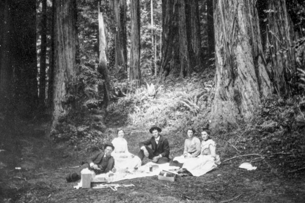
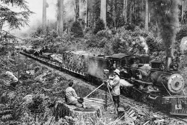
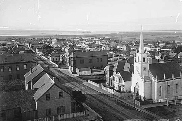
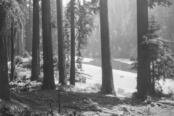
Geographic areas covered in the collection include areas within many Humboldt County towns, timber lands, railroad lines, waterways, and mines. Most maps were done for private citizens and the detail included in the drawing relates to the needs of each situation.
Arrangement of the Collection
The collection of 251 items is arranged in a single series. Information about each map was recorded in a Microsoft Access database which can be searched on the Herrick Land Survey Digital Archives page. In searching, choose geographic terms or subject terms, e.g. mining or railroads; here is the list of Subjects used in this collection.
The drawings were wiped clean of dust, numbered, and most of them were housed in archival sleeves before being placed in a flat storage map case. Cataloging information was taken from the item itself. Where the Township/Range information is provided it is recorded in this format: 6N1E28H. The longer statement of this would be: Township 6 North, Range 1 East, Section 28, Humboldt Meridian.
Related Collections
Shuster Aerial Photograph Collection
Thornburgh Timber Maps Collection
Louisiana Pacific/Hammond Lumber Company Collection
Subject Headings
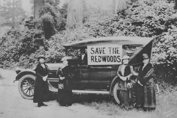
Humboldt County (Calif.) – History
Land Use – California – Humboldt County
Land Use – California – Del Norte County