You are here
Eureka Waterfront Litigation Collection: Selected Images
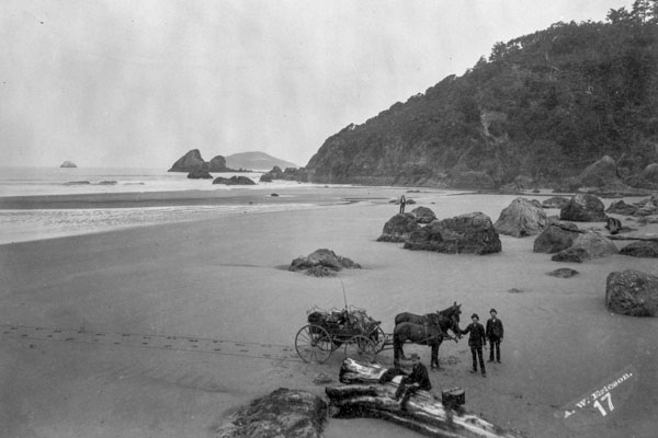
These images were scanned from originals or copies in the collection. They were selected for presentation and preservation purposes. Scanning was performed by Rudy Gillard, supported in part by the Tracy Memorial Trust Fund, a fund of the Humboldt Area Foundation. Titles and numbers were assigned by the collection creator. A complete list of the objects in the exhibit is ![]() here.
here.
Preliminary Survey of Humboldt Bay, CA USCS (1852) [333] | ||
| Fractional Township No. 5 North, Range 1 West, Humboldt Meridian, 1855 [336] Size: 709 KB | Topographic Survey #474, prepared by USCS, 1854 [334A] Size: 1.38 MB | Eureka, H. B. 1854 [771] |
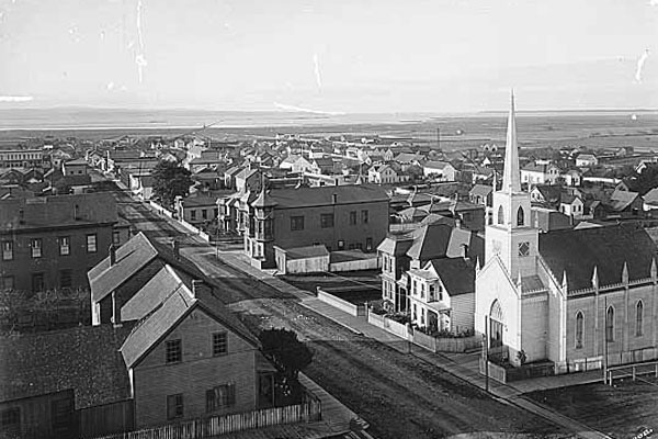
| Eureka, 1870, Looking East on First Street from McKay Mill [770] Size: 340 KB | Three-masted vessel on waterfront at foot of M Street (circa 1890) [773] Size: 337 KB | Black and White Lithograph of Eureka prepared by Belcher & Crane Co., 1902 [774A] Size: 1.40 MB |
| The occidental Mill and Log Pond located between Commercial & B Streets on Humboldt Bay (Nov. 26, 1906) [768] Size: 449 KB | Eureka, January 12, 1932 [772] Size: 448 KB | USCE, Major Channels and Harbor Lines (1938) [363] Size: 1.18 MB |
| Oblique aerial of eastern portion of waterfront, looking west (12 Apr 1958) Swanlund [779] Size: 1.08 MB | Oblique aerial photo of Eastern portion of waterfront dated November 12, 1958 Swanlund [776] Size: 1.28 MB | Oblique aerial photo of waterfront, A to F Street vicinity, ca. October 1959 Swanlund [778] Size: 1.12 MB |
| Oblique aerial photo of eastern portion of waterfront, ca. October 1959 Swanlund [777] Size: 930 KB | Oblique aerial photo of waterfront looking south and depicting area from Samoa Bridge to western Eureka waterfront, March 26, 1972 Swanlund [780] Size: 1.53 MB | Oblique aerial of waterfront, fishing docks near Balloon Tract (29 Mar 1972) Swanlund [775] Size: 945 KB |